cgeomag.f File Reference
Go to the source code of this file.
Functions/Subroutines | |
| subroutine | cgeomag (yearin, llh, h, icon) |
| subroutine | crdgeomag (filepath, yearin) |
| subroutine | cgmgigrf (devn, filepath, yearin) |
| subroutine | cgmgwmm (devn, filepath, yearin) |
| subroutine | cprgeomag |
Function/Subroutine Documentation
◆ cgeomag()
Definition at line 25 of file cgeomag.f.
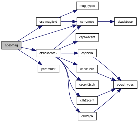
References cerrormsg(), cos, csetmagfield(), ctranscoord2(), d0, d3, h, llh, parameter(), and sys.
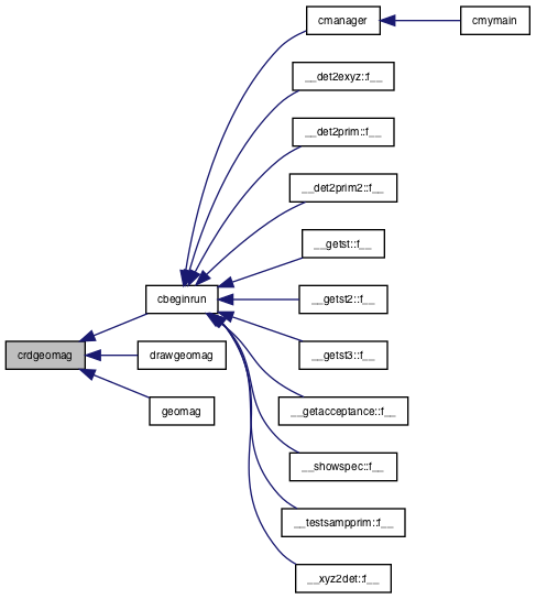
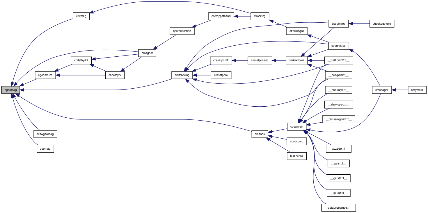
Referenced by cfixmag(), cgeomfunc(), cinitobs(), cinitracking(), cmagdef(), drawgeomag(), and geomag().
integer npitbl real *nx parameter(n=101, npitbl=46, nx=n-1) real *8 uconst
Definition: Zprimary.h:27
! for length to thickness conversion or v v ! integer maxnodes real Hinf ! This is used when making table for dim simulation ! The slant length for vertical height to km is ! divided by LenStep m steps ! It can cover the slant length of about km for cos
Definition: Zatmos.h:8
latitude latitude this system is used *****************************************************************! type coord sequence union map real z z in m endmap xyz map real * lat
Definition: Zcoord.h:25
latitude latitude this system is used *****************************************************************! type coord sequence union map real z z in m endmap xyz map real ! latitude in deg is to the north * long
Definition: Zcoord.h:25
latitude latitude this system is used *****************************************************************! type coord sequence union map real z z in m endmap xyz map real ! latitude in deg is to the north ! longitude in deg is to the east *h ! height in m endmap llh map real ! polar angle ! azimuthal angle *radius ! radial distance endmap sph endunion character *sys ! which system llh
Definition: Zcoord.h:25
*Zfirst p fm *Zfirst p Zfirst p Zfirst p *Zfirst p *Zfirst pos xyz Zfirst pos xyz sys
Definition: ZavoidUnionMap.h:1
block data cblkEvhnp ! currently usable models data RegMdls ad *special data *Cekaon d0
Definition: cblkEvhnp.h:5
block data include Zlatfit h c fitting region data data data data data d0 data data d0 data data m
Definition: ZlatfitBD.h:35
subroutine csetmagfield(sys, b1, b2, b3, b)
brief set Calculated magnetic field to /magfield/ b
Definition: csetMagField.f:6
Definition: Zcoord.h:43
! structure defining a particle at production ! Basic idea of what is to be contained in ! the particle structue is that dynamical ones should be included those derivable from the particle code ! is not included ******************************************************type fmom momentum sequence union map real e endmap map real * x
Definition: Zptcl.h:21
Definition: Zmagfield.h:39
Here is the call graph for this function:
Here is the caller graph for this function:
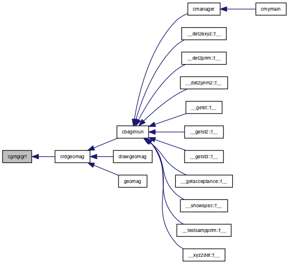
◆ cgmgigrf()
Definition at line 202 of file cgeomag.f.
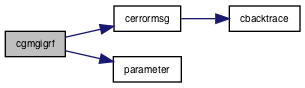
References cerrormsg(), and parameter().
Referenced by crdgeomag().
integer npitbl real *nx parameter(n=101, npitbl=46, nx=n-1) real *8 uconst
********************block data cblkHeavy ********************integer j data *HeavyG2symbol *data *HeavyG2code kiron data j
Definition: cblkHeavy.h:36
block data include Zlatfit h c fitting region data data data data data d0 data data d0 data data m
Definition: ZlatfitBD.h:35
Here is the call graph for this function:
Here is the caller graph for this function:
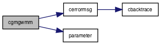
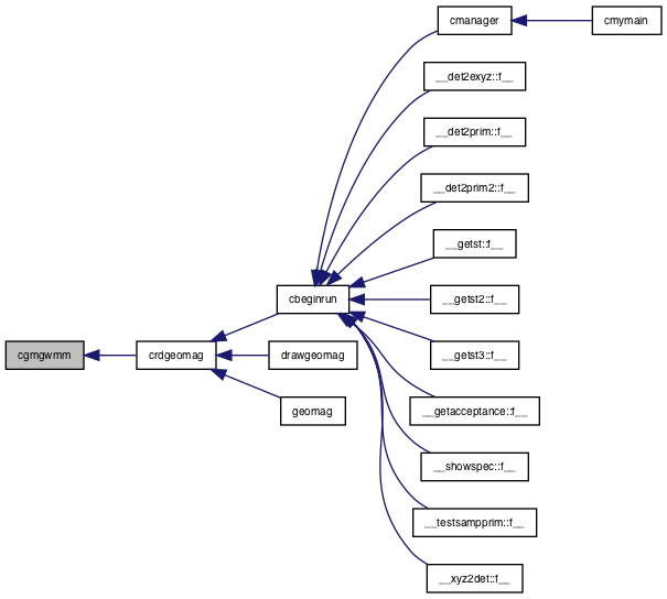
◆ cgmgwmm()
Definition at line 346 of file cgeomag.f.
References cerrormsg(), and parameter().
Referenced by crdgeomag().
integer npitbl real *nx parameter(n=101, npitbl=46, nx=n-1) real *8 uconst
********************block data cblkHeavy ********************integer j data *HeavyG2symbol *data *HeavyG2code kiron data j
Definition: cblkHeavy.h:36
block data include Zlatfit h c fitting region data data data data data d0 data data d0 data data m
Definition: ZlatfitBD.h:35
Here is the call graph for this function:
Here is the caller graph for this function:
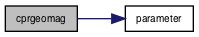
◆ cprgeomag()
| subroutine cprgeomag | ( | ) |
Definition at line 477 of file cgeomag.f.
References parameter().
Referenced by geomag().
integer npitbl real *nx parameter(n=101, npitbl=46, nx=n-1) real *8 uconst
block data include Zlatfit h c fitting region data data data data data d0 data data d0 data data m
Definition: ZlatfitBD.h:35
Here is the call graph for this function:
Here is the caller graph for this function:
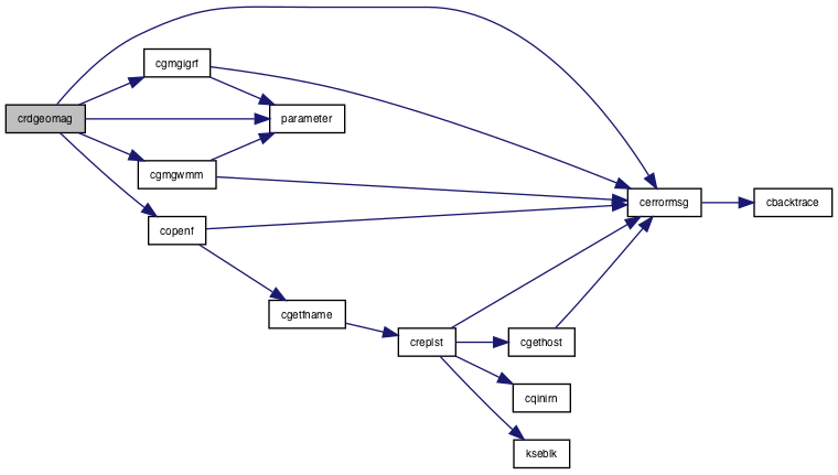
◆ crdgeomag()
| subroutine crdgeomag | ( | character*(*) | filepath, |
| real*8 | yearin | ||
| ) |
Definition at line 133 of file cgeomag.f.
References cerrormsg(), cgmgigrf(), cgmgwmm(), copenf(), and parameter().
Referenced by cbeginrun(), drawgeomag(), and geomag().
integer npitbl real *nx parameter(n=101, npitbl=46, nx=n-1) real *8 uconst
Here is the call graph for this function:
Here is the caller graph for this function: