cllh2e_cent_ellips.f File Reference
Go to the source code of this file.
Functions/Subroutines | |
| subroutine | cllh2ecent (llh, xyz) |
Function/Subroutine Documentation
◆ cllh2ecent()
Definition at line 17 of file cllh2e_cent_ellips.f.
References coord_types(), and cos.
Referenced by ctranscoord2().
! for length to thickness conversion or v v ! integer maxnodes real Hinf ! This is used when making table for dim simulation ! The slant length for vertical height to km is ! divided by LenStep m steps ! It can cover the slant length of about km for cos
Definition: Zatmos.h:8
latitude latitude this system is used *****************************************************************! type coord sequence union map real z z in m endmap xyz map real ! latitude in deg is to the north ! longitude in deg is to the east *h ! height in m endmap llh map real ! polar angle ! azimuthal angle *radius ! radial distance endmap sph endunion character *sys ! which system xyz
Definition: Zcoord.h:25
latitude latitude this system is used *****************************************************************! type coord sequence union map real z z in m endmap xyz map real ! latitude in deg is to the north ! longitude in deg is to the east *h ! height in m endmap llh map real ! polar angle ! azimuthal angle *radius ! radial distance endmap sph endunion character *sys ! which system llh
Definition: Zcoord.h:25
integer max_coord_types * coord_types(2)/'llh'/
Definition: Zcoord.h:43
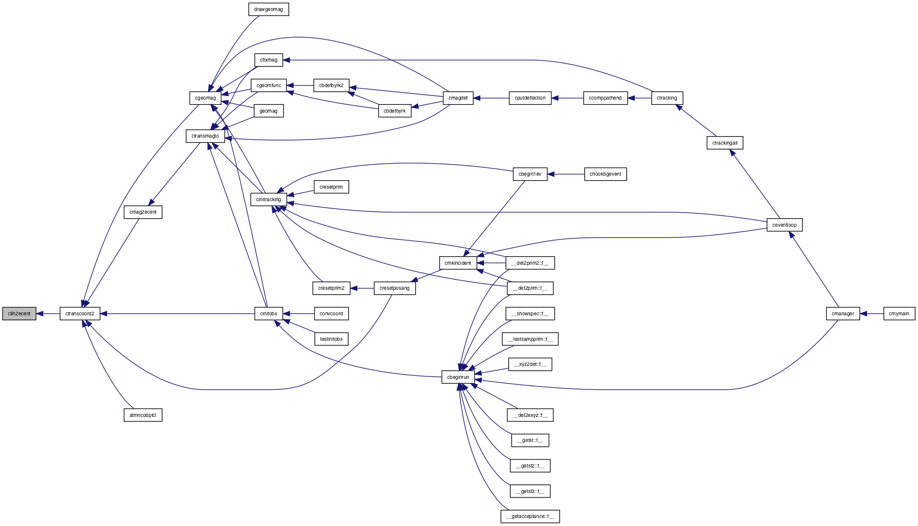
Here is the call graph for this function:
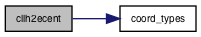
Here is the caller graph for this function: